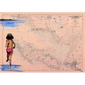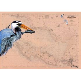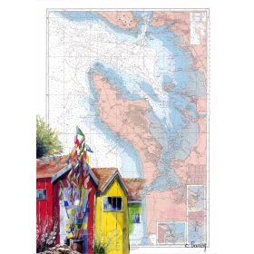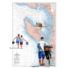
We are permanently discontinuing production of our cotton-stretched canvases.
If you would like a canvas, please order it soon.



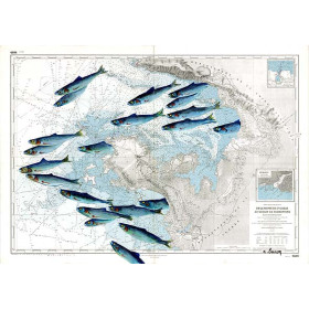
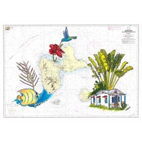
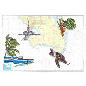
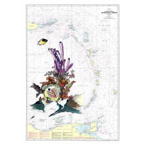
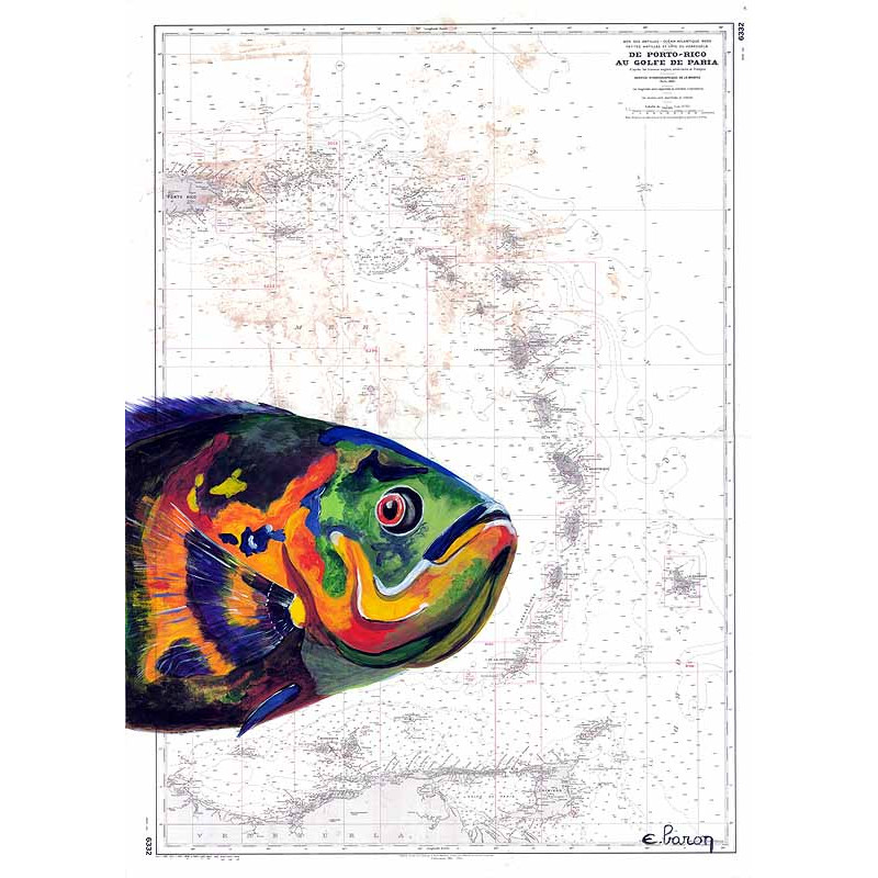
Own a hand-painted nautical chart of the Lesser Antilles, from Puerto Rico to the Gulf of Paria. High-quality print on 200 g paper, made in France, available in multiple sizes.
Discover a stunning reproduction of a hand-painted nautical chart that captures the essence of the Caribbean Arc, from Puerto Rico to the Gulf of Paria. This exquisite piece blends the precision of maritime cartography with the elegance of artistic craftsmanship, making it a must-have for sailors, collectors, and lovers of nautical decor.
This nautical chart is not just a functional map—it’s a work of art. Each detail is meticulously reproduced from an original hand-painted piece, ensuring that every coastline, depth marking, and navigational note is rendered with authenticity. The result is a striking visual representation of the Caribbean’s most iconic waters, perfect for adding a touch of maritime heritage to any space.
- High-quality printing on 200 gsm paper, ensuring durability and a refined finish
- Available in two formats: unmounted on premium paper or as a canvas stretched over a sturdy wooden frame
- Each piece is printed on demand, guaranteeing freshness and attention to detail
- Proudly made in France, combining traditional techniques with modern precision
Whether you’re looking to enhance your home, office, or boat, this nautical chart adapts effortlessly to any setting. The paper version is shipped rolled in a protective tube, making it easy to frame according to your style. For a ready-to-hang option, the canvas version arrives securely packaged, ready to bring a touch of the sea to your walls.
Searching for a unique gift for a sailor, explorer, or history buff? This hand-painted nautical chart is a thoughtful and sophisticated choice. Its blend of artistry and functionality makes it a timeless piece that will be cherished for years to come.
Elevate Your Space with a Hand-Painted Nautical Masterpiece
This hand-painted nautical chart is a stunning reproduction of an original artwork, meticulously crafted to showcase the beauty and precision of the Caribbean Arc. From the turquoise waters of Puerto Rico to the vibrant coastlines of the Gulf of Paria, this piece captures the essence of maritime exploration with artistic flair. Whether you're a seasoned sailor, a history enthusiast, or simply someone who appreciates fine decor, this chart brings a touch of nautical elegance to any setting.
Unmatched Quality and Craftsmanship
Printed on premium 200 gsm paper, this nautical chart is designed to last, offering a perfect balance of durability and sophistication. Each piece is produced on demand, ensuring that every detail of the original hand-painted artwork is faithfully reproduced. Made in France, this chart embodies the highest standards of quality, blending traditional artistry with modern printing techniques for a result that is both authentic and visually striking.
Two Formats to Suit Your Style
Choose the format that best fits your space and preferences. The paper version is shipped rolled in a protective tube, allowing you to frame it to match your decor. For a hassle-free option, the canvas version comes stretched over a sturdy wooden frame, ready to hang and instantly transform any room. Both formats are available in a range of sizes, ensuring the perfect fit for your walls.
A Thoughtful Gift for Any Occasion
Looking for a gift that stands out? This nautical chart is an ideal choice for sailors, travelers, and anyone with a passion for the sea. Its unique blend of art and functionality makes it a meaningful and memorable present, whether for a birthday, anniversary, or housewarming. With its timeless appeal, it’s a gift that will be treasured for years to come.
This hand-painted nautical chart is printed on high-quality 200 gsm paper, ensuring a durable and elegant finish. Made in France, each piece is produced on demand for optimal freshness and precision. The chart covers the Caribbean Arc, spanning from latitude 9.652152607848393 to 20.02325858230699 and longitude -66.57943810801589 to -58.98312217369661, offering a detailed and accurate representation of this iconic maritime region.
The reproduction is printed on high-quality 200 g paper, ensuring durability and a premium finish.
The 30 x 40 cm size is shipped in a protective sleeve, while larger sizes (35 x 50 cm, 50 x 70 cm, and 65 x 90 cm) are shipped rolled in a protective tube.
Each map is printed to order, so production typically takes a few business days before shipping.
The map depicts the region from Puerto Rico to the Gulf of Paria in the Lesser Antilles.
No, the map is sold unframed, allowing you to choose a custom frame that fits your decor.
The map covers latitudes from 9.652152607848393 to 20.02325858230699 and longitudes from -66.57943810801589 to -58.98312217369661.
Data sheet
Specific References

Own a hand-painted nautical chart of the Lesser Antilles, from Puerto Rico to the Gulf of Paria. High-quality print on 200 g paper, made in France, available in multiple sizes.