We are permanently discontinuing production of our cotton-stretched canvases.
If you would like a canvas, please order it soon.



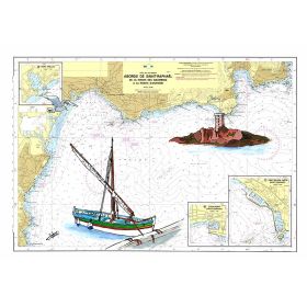
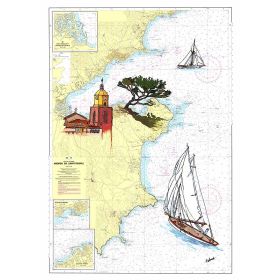
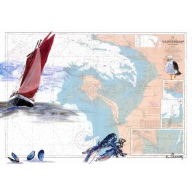
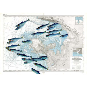
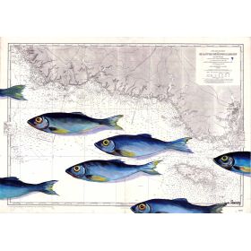
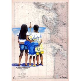
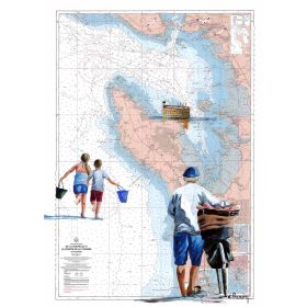
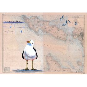
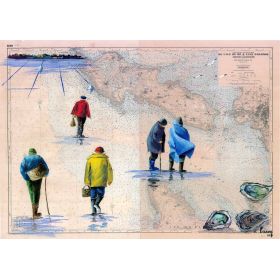
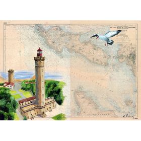
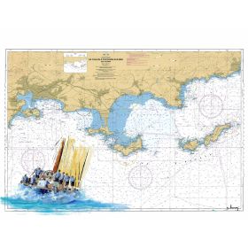
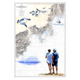
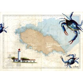
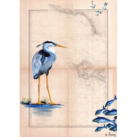
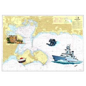
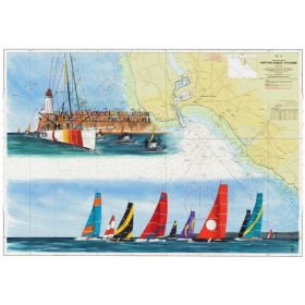
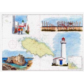
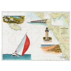
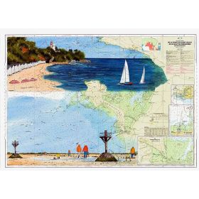
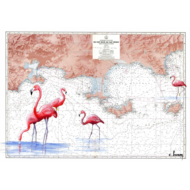
A hand-painted nautical chart of the Hyères Islands, blending art and cartography. High-quality print on 200 g paper, available in multiple sizes for a touch of coastal elegance.
Discover a unique blend of art and cartography with this exquisite hand-painted marine chart. This piece captures the timeless beauty of the Hyères Islands and the surrounding coastline, offering a stunning visual representation of the Mediterranean’s most iconic waters. Perfect for sailors, maritime enthusiasts, or anyone who appreciates fine art, this chart brings the sea into your home or office with elegance and precision.
Elevate Your Space with a Stunning Nautical Masterpiece
Transform any room into a maritime sanctuary with this hand-painted marine chart, a perfect fusion of art and navigation. This exquisite reproduction captures the essence of the Hyères Islands and the Mediterranean coastline, offering a unique blend of historical charm and modern elegance. Whether you're a seasoned sailor, a maritime history buff, or simply someone who appreciates fine art, this chart is designed to inspire and captivate.
Art Meets Cartography
This marine chart is not just a map—it’s a work of art. Each detail is carefully rendered to reflect the beauty and complexity of the Mediterranean’s coastal waters, from Cap Sicié to Cap Bénat. The chart’s artistic style pays homage to traditional nautical maps while incorporating contemporary techniques, making it a standout piece for any collection. The precision and craftsmanship ensure that every line and color tells a story of the sea, bringing its magic into your space.
Unmatched Quality and Versatility
Crafted with the finest materials, this chart is available in two premium formats: on 200 g paper or on canvas mounted on a wooden frame. The paper version is printed on thick, durable stock that enhances the vibrancy of the colors and the clarity of the details, while the canvas option offers a ready-to-hang solution with a gallery-like finish. Both versions are produced in France, ensuring superior quality and attention to detail. Whether you prefer a classic framed look or a modern canvas display, this chart adapts effortlessly to your style.
Designed for Maritime Enthusiasts
This marine chart is more than just a decorative piece—it’s a celebration of the sea’s enduring allure. Ideal for sailors, navigators, or anyone with a passion for maritime history, it serves as both a functional reference and a stunning visual centerpiece. The chart’s detailed depiction of the Hyères Islands and surrounding waters makes it a meaningful addition to any nautical-themed space, evoking the spirit of adventure and exploration. Whether displayed in a home, office, or boat, it’s sure to spark conversation and admiration.
This hand-painted marine chart is crafted with precision and care, offering a high-quality reproduction of the Mediterranean coastline from Cap Sicié to Cap Bénat. Printed on premium 200 g paper or canvas mounted on a wooden frame, it combines durability with artistic elegance. Each piece is proudly made in France, ensuring exceptional craftsmanship and attention to detail.
The nautical chart is printed on 200 g paper, which provides a sturdy and high-quality finish.
Yes, it is available on 200 g paper or as a canvas print with a wooden stretcher frame.
The 30 x 40 cm size is shipped in a protective sleeve, while larger sizes are rolled and shipped in a protective tube.
The chart covers the coastal area from Cap Sicié to Cap Bénat, including the Hyères Islands.
Yes, all sizes are designed to be easily framed, with the canvas option already mounted on a wooden stretcher.
The chart covers the latitude range of 42.8836 to 43.1874 and the longitude range of 5.8618 to 6.4124.
Data sheet
Specific References

A hand-painted nautical chart of the Hyères Islands, blending art and cartography. High-quality print on 200 g paper, available in multiple sizes for a touch of coastal elegance.